What Your Location on a Flood Map Means for You


Floods are both more dangerous — and common — than you may think. But how do you know if you’re at risk?
A flood map provides important information for current and future homeowners alike. Don’t worry, it’s not as complicated as you may think, and we’re here to make it easy for you to understand how floods might affect you.
How to Find Your Location on a Flood Map
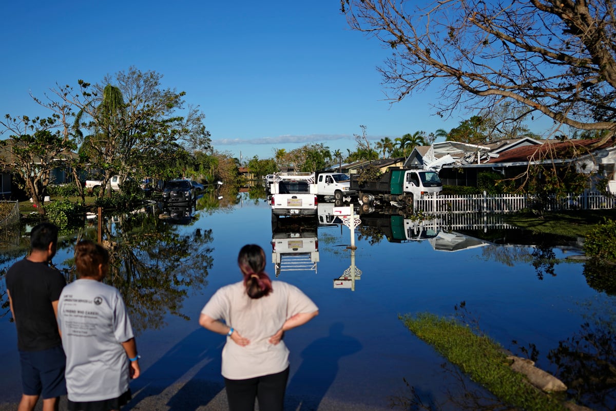
Your level of flood risk mostly depends on where you live. Those close to the coast or rivers pretty much always have a higher chance of experiencing floods. But you’re not free and clear just because you can’t see the beach from your house.
So how do you find out if you are in a flood zone in the first place? There’s an online flood map system that works for the entire United States. The Federal Emergency Management Agency, which manages flood disasters nationwide, owns and operates the system. The flood map is relatively easy to use — type in your address and you will get a map. For this exercise, we picked a random location in Miami, Florida, to show the flood zone.
You can move around, zoom in and out, and see your area of interest as well as other areas that may or may not be in a flood zone. If you are in an area with no shading over it and just the satellite background, congratulations! You are in a flood zone of minimal flood hazard. If you want to save the map for sharing, for yourself, or for any other purposes, click either the “dynamic map” or “map image.”
The first creates a PDF you can save and the second will save the image in a compressed zip file. The dynamic map option is usually easier to deal with. Don’t worry if it takes a while to load — it’s common on FEMA’s website. These maps are often called FIRMs: Flood Insurance Rate Maps. The ones you can print out yourself are often called FIRMettes.
How to Read a Flood Map
If you are in a flood zone, you may see special flood hazard areas that are blue. Areas near water typically are in this kind of flood hazard zone. These flood zones will often note the base flood elevation (BFE). That measurement is the water level in a flood that has a 1% chance of occurring each year. In our example, the BFE is 8 feet high.
Generally, the orange-shaded areas on a flood map also are a flood hazard. These areas are still relatively susceptible to floods, but not to the same extent. Pockets with no color indicate minimal flood hazard. That does not mean the hazard is zero, however.
You should also pay attention to the date of the provided flood maps. From the example above, the effective date of the flood map is September 11, 2009. It has been essentially 15 years since FEMA updated it. It may not account for changes in flood profiles and hazards of your area of interest.
I’m In A Flood Zone, Now What?
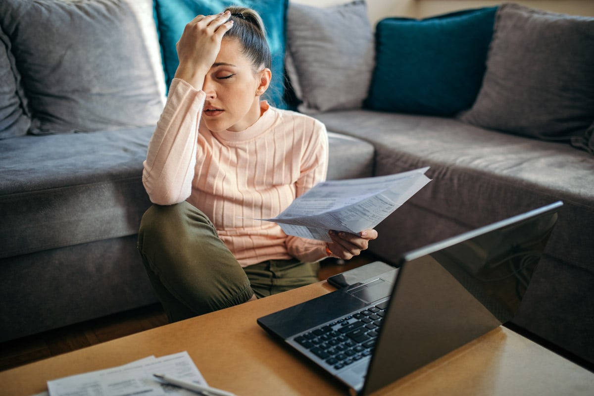
According to FEMA, what’s next varies from property to property and person to person. But generally, you will need flood insurance. If you live in special flood hazard areas at a property with a mortgage from a federally regulated or insured lender, you are required to buy flood insurance.
If the property is in non-special flood hazard areas, which are moderate-to-low-risk, then they may need flood insurance. You aren’t required to get flood insurance in these areas, but, naturally, experts recommend it.
Luckily, if you’re worried about the cost of flood insurance, we have you covered.
I Am Not In A Flood Zone, Or It’s Undetermined, Now What?
If your property ends up in an undetermined flood zone, you may want to get flood insurance anyway. The uncertainty of risk influences the rates, according to FEMA. So if the risk is more uncertain, the higher the price is for flood insurance.
If the flood map on FEMA’s website does not show you are in a flood zone, you can opt out of flood insurance if you wish. However, people outside high-risk areas file more than a quarter of flood insurance claims. This is why FEMA advises you should have flood insurance anyway.
A few factors affect the cost, but the key ones include your flood risk, deductible choice, elevation and community risk. You should discuss with your insurance agent what kind of policy would work best for you and your property. The numerous ways you can reduce flood insurance premiums indicates that a higher deductible will be the cost most directly in your control. If you increase your deductible to the maximum, it could reduce your annual premium by up to 40%.
Can I Do More to Lower My Risk Than Getting Flood Insurance?
Yes! If you’d like to stay put and do something proactive about preventing floods from damaging your home, there are a few ways to lower your risk.
Elevating your property is likely the fastest way to reduce your flood risk and insurance costs. You can save hundreds of dollars every year for each foot above the BFE your structure is.
Flood openings also reduce flood risk. It is required to install them in all new construction and substantial basement renovations in high-risk areas. This will require basements or other fully enclosed areas below the lowest elevated floor (like an enclosed garage) to have at least two flood openings on at least two exterior walls. They must be at least one square inch per square foot of enclosed area and not higher than a foot above the exterior ground. Also, garage doors, windows and other exterior doors don’t count as flood openings unless they have flood openings installed on them.
Other ways to reduce your risk include elevating utilities, filling in basements and, naturally, relocating to a less flood-prone area. Even if relocating is not easy for everyone, it’s the closest to a foolproof way of avoiding flood damage instead of depending on insurance.
Dennis Lynch is a civil engineer and freelance writer with a passion for personal finance.